Each time I travel to the desert, I try to scout out a new location. This past weekend, I decided to hike to Amboy Crater in the Mojave Desert. The 250-ft. volcanic crater is located off the famous Route 66, a popular road which stretched from Chicago to Los Angeles from the late 1920s to the 1970s.
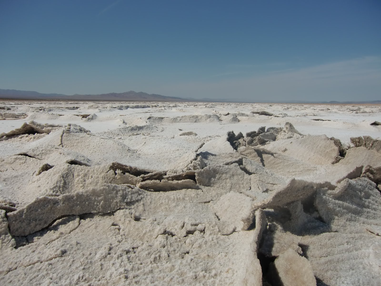
My husband and I stayed in a hotel in Yucca Valley and set out for the crater in the morning. As we were driving along Amboy Road (just three miles away from the town of Amboy), we discovered Bristol Dry Lake, a salt lake that is being mined today. We spent an hour walking on the lake of salt, which resembled snow and crunched beneath our feet. We took photographs and broke off a salt crystal to bring home with us.

Since the temperature was rising into the 90s quickly, we decided to stop in Amboy for more water.
Founded in 1883, Amboy thrived as a destination point along Route 66 until Interstate 40 was built in 1973 and bypassed the town. Amboy's current population is advertised at 20 people. Radiator Springs, the ghost town featured in the Disney movie Cars, is loosely based on the town.
We went to the only business still in existence, Roy's Motel and Cafe, where they sold Route 66 root beer, which of course, we had to buy.
.


From Amboy, we drove 2.4 miles to the 6,000-year-old Amboy Crater, where we ate lunch at a picnic table overlooking the volcanic cinder cone. There is also an observation deck near the parking lot for picture taking.
The round trip 3-mile hike to the Crater takes 2-3 hours. The inside of the crater contains two lava dams and small lava lakes, which are covered with light colored clay. The climb to the top is at an 80-foot incline.
The trail is directly in the sun, so I recommend wearing a hat, bringing sunscreen and carrying lots of water. The Bureau of Land Management says the best times to hike are between the months of October through April to avoid the extreme heat.
We had a great time! Next time though, I plan to download The Rolling Stones "Route 66" onto my iPod for the long drive. That song would have made the day complete.


